
+86-159 9860 6917
info@geofantex.com
geofantex@gmail.com
+86-400-8266163-44899
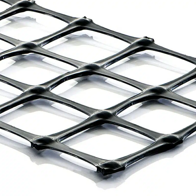
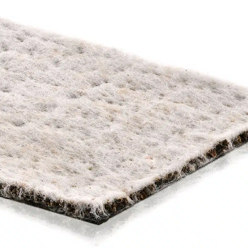
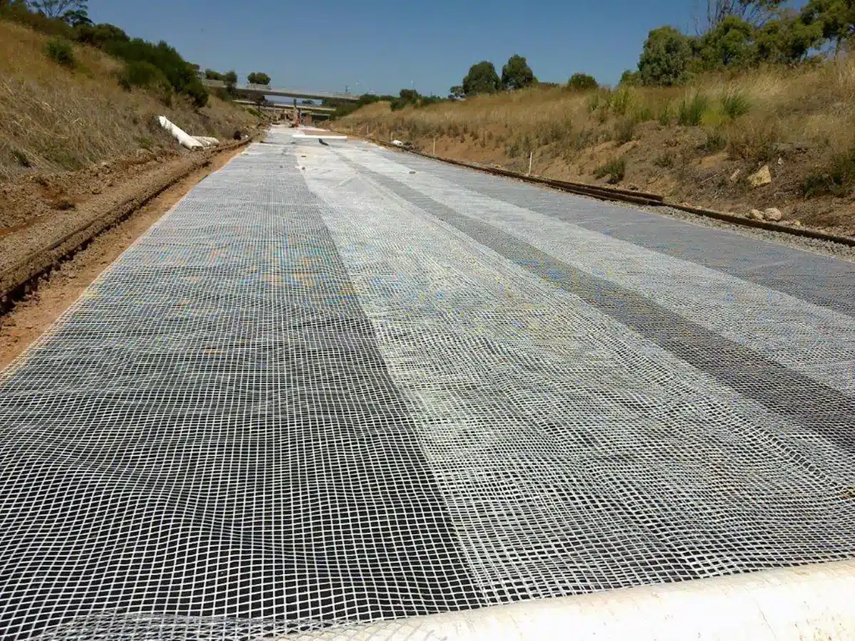
Geonet water transmissivity is a critical factor in hydraulic engineering, denoting the capacity of geonets to facilitate fluid flow, especially water, within their structure. This measurement, often quantified as 1.0×10^3 m²/sec, signifies the rate at which water moves through the geonet under specific hydraulic conditions. Engineers and geotechnical experts rely on this characteristic to assess the efficiency of geonets in managing water flow in various soil and engineering applications. Higher transmissivity values indicate superior drainage capabilities, essential for ensuring the stability and longevity of infrastructure by effectively managing water movement within the system. Understanding and optimizing geonet water transmissivity play a pivotal role in achieving efficient water management strategies across diverse engineering projects.
What is the function of the Geonet?
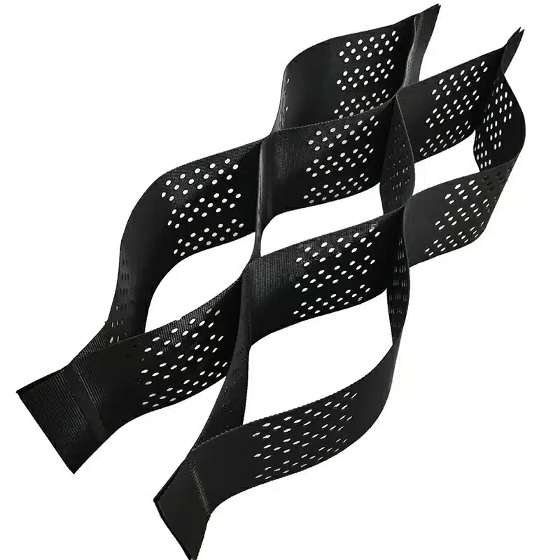
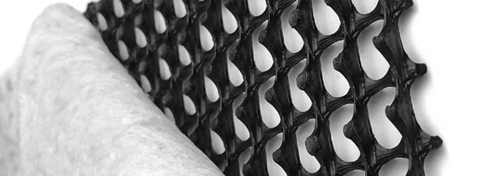
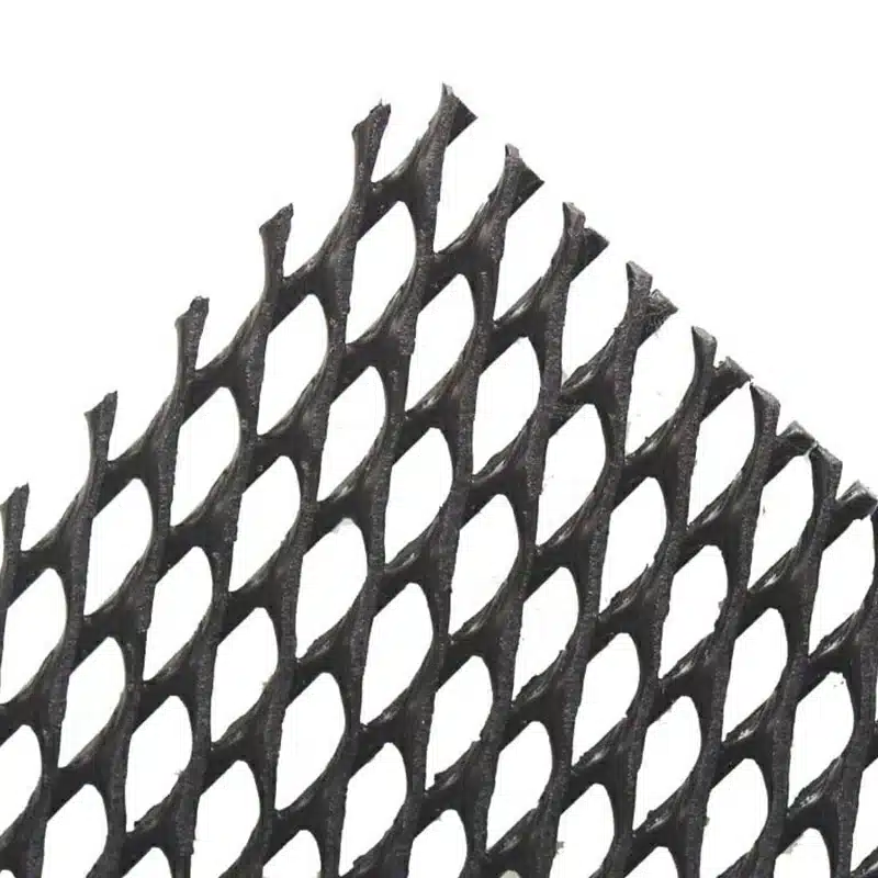
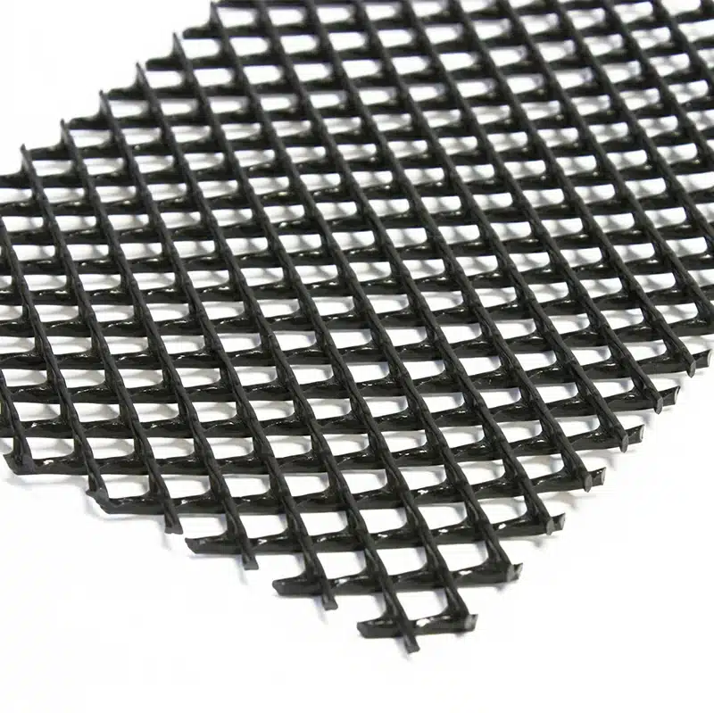
The primary function of a geonet is to facilitate efficient water drainage and prevent soil erosion. Geonets achieve this by providing a stable, three-dimensional network that channels water through its voids, directing it away from areas where excess moisture could cause problems. Here are the key functions of a geonet:
- Water Drainage: Geonets help manage excess water by allowing it to flow through the mesh structure, preventing water accumulation in areas like retaining walls, slopes, or landfills.
- Erosion Control: By allowing water to flow freely without disturbing the soil, geonets reduce the risk of soil erosion, especially in areas exposed to heavy rainfall or flooding.
- Soil Stabilization: Geonets provide support to the surrounding soil, improving the overall stability of slopes, foundations, or embankments.
- Separation Layer: In certain applications, geonets act as a separation layer, preventing the mixing of different soil types, such as in drainage systems or roads.
Overall, geonets are essential for ensuring effective water management, protecting structures, and enhancing the durability of construction projects.
What is the transmissivity of geonet?
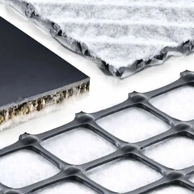
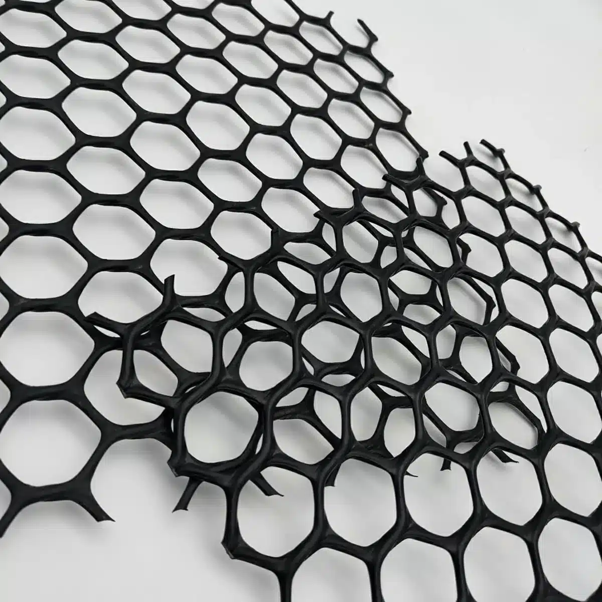
Geonets are designed to enhance drainage performance and prevent soil erosion by forming a stable, three-dimensional structure that channels water through interconnected voids. This structure efficiently redirects water away from areas where excess moisture could compromise soil strength or structural integrity. The key functions of a geonet include:
- Water Drainage: Geonets provide an in-plane flow path that allows water to move freely through the mesh structure, reducing water buildup behind retaining walls, within slopes, or in landfill drainage systems.
- Erosion Control: By controlling water flow without disturbing surrounding soils, geonets minimize erosion caused by rainfall or surface runoff, particularly in areas subject to heavy precipitation or flooding.
- Soil Stabilization: Geonets support adjacent soil layers by reducing pore water pressure and improving overall stability in slopes, embankments, and foundation systems.
- Separation Layer: In certain applications, geonets act as a separation layer that prevents the intermixing of different soil or aggregate layers, maintaining drainage efficiency in roadways and subsurface drainage systems.
Overall, geonets play a critical role in effective water management, structural protection, and the long-term durability of civil and geotechnical engineering projects.
What is water transmissivity?
Water transmissivity refers to the ability of a material, typically soil or rock, to transmit water through its pores. It is an important concept in hydrogeology and soil science, as it indicates how easily water can move through a given material.
Transmissivity is usually measured in terms of the volume of water that can pass through a unit area of material per unit of time, often expressed in units like gallons per day per square foot (gpd/ft²) or cubic meters per day per square meter (m³/day/m²). The value depends on both the permeability of the material and its thickness. In aquifers, transmissivity helps determine the capacity of an aquifer to transmit groundwater.
It’s crucial for understanding groundwater flow, designing drainage systems, and managing water resources.
How do you calculate transmissivity?
Transmissivity (T) is a key parameter in hydrogeology that measures the ability of an aquifer to transmit water horizontally. It is calculated using the formula: T = K × b, where K is the hydraulic conductivity of the aquifer (typically in meters per day, m/day), and b is the saturated thickness of the aquifer (in meters). For example, if an aquifer has a hydraulic conductivity of 10 m/day and a saturated thickness of 20 meters, its transmissivity would be T = 10 × 20 = 200 m²/day. When direct measurements of K and b are not available, transmissivity can also be estimated using data from a pumping test through analytical methods like the Theis or Cooper-Jacob equations.
Understanding geonet water transmissivity is pivotal in optimizing drainage systems and ensuring the stability and longevity of diverse infrastructure projects. By comprehending its function and accurately calculating transmissivity, engineers and designers can make informed decisions, selecting the most efficient geonet materials for diverse applications, thereby enhancing overall project performance and resilience.
Get Free Sample
We’ll respond as soon as possible(within 12 hours)